
Spatial Alphabet — AI-enabled geospatial, engineering, application development, and talent solutions
CORE EXPERTISE — 01 / 04
Integrated Engineering Services
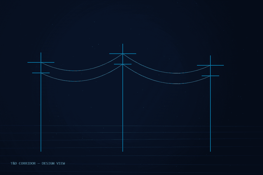
Telecom, power line, and utility network engineering plus BIM — from structural feasibility to construction-ready design and permitting.
PLS-CADD · PLS-POLE · SPIDACALC · AUTOCAD · REVIT

TRUSTED BY
INDUSTRY LEADERS





A1 — WHO WE ARE
Spatial data is only valuable when it becomes a decision. We make that happen — first time, every time.
Incorporated in 2019 and led by a team with ~20 years in GIS and engineering design, Spatial Alphabet pairs US leadership in Keller, Texas with a large offshore development center in Hyderabad — one team, two shores, first-time-right output.
Who We Are →B1 — WHAT WE DELIVER
Four capability pillars. One accountable team.
Engineering, geospatial technology, and digital solutions combined to carry telecom, utility, and infrastructure projects from structural feasibility through construction-ready design to regulatory approval.
PLS-CADD · PLS-POLE · SPIDACALC · O-CALC PRO · AUTOCAD · REVIT
Scope a pilot for this service →B2 — WHY SPATIAL ALPHABET
Zero rework isn't a slogan. It's our QC protocol.
Every deliverable passes rigorous training-backed quality control before it reaches you. That discipline is why clients stop budgeting for revision cycles.
100% quality, zero rework
Rigorous training and strict QC protocols mean deliverables ship right the first time. No revision cycles baked into your budget.
Dual-shore delivery
US leadership in Keller, TX sets the standard; our Hyderabad ODC executes at scale. Speed and quality, at a cost structure competitors can't match.
~20 years leadership depth
Our leads have run GIS and engineering programs across railroad, water, gas, pipeline, and cadastral work in multiple countries.
Pilot programs
Paid or pro bono: prove us on a scoped pilot before you commit a dollar of program budget.
7+
YEARS ACTIVE
20+
YEARS LEADERSHIP DEPTH
100%
FIRST-TIME-RIGHT QUALITY
2
GLOBAL OFFICES
C1 — INDUSTRIES
Where our work carries weight.
Electrical Utilities
Pole loading, PLS-CADD/PLS-POLE T&D engineering, AutoCAD network design, and LiDAR vegetation monitoring for a grid in the middle of a global super-cycle.
Telecommunications
Pole Loading Analysis, HLD/LLD fiber network design, and permitting-through-make-ready for accelerating fiber and 5G build-out.
Oil & Gas
Corridor mapping, LiDAR-based encroachment monitoring, and legacy-drawing digitization for record-pace pipeline and midstream expansion.
Transportation
Utility-conflict mapping and legacy-drawing digitization for road, rail, and freight corridors that constantly intersect utility and telecom networks.
Government & Public Sector
GIS asset mapping, GeoAI data conflation, and real-time monitoring dashboards — backed by a live flood-monitoring deployment.
C2 — PILOT PROGRAM
Not ready to commit? Start with a pilot.
Scope a Pilot →Paid or pro bono — your call. We take a real slice of your program, deliver it to production standard, and you evaluate the result before committing anything further.
01 — SCOPE
We define a bounded, representative work package with you — real data, real specs, one to three weeks.
02 — DELIVER
Our dual-shore team executes under the same QC protocol as a full engagement. No demo-grade shortcuts.
03 — EVALUATE
You audit the deliverables against your own acceptance criteria. Then decide — with evidence, not promises.