
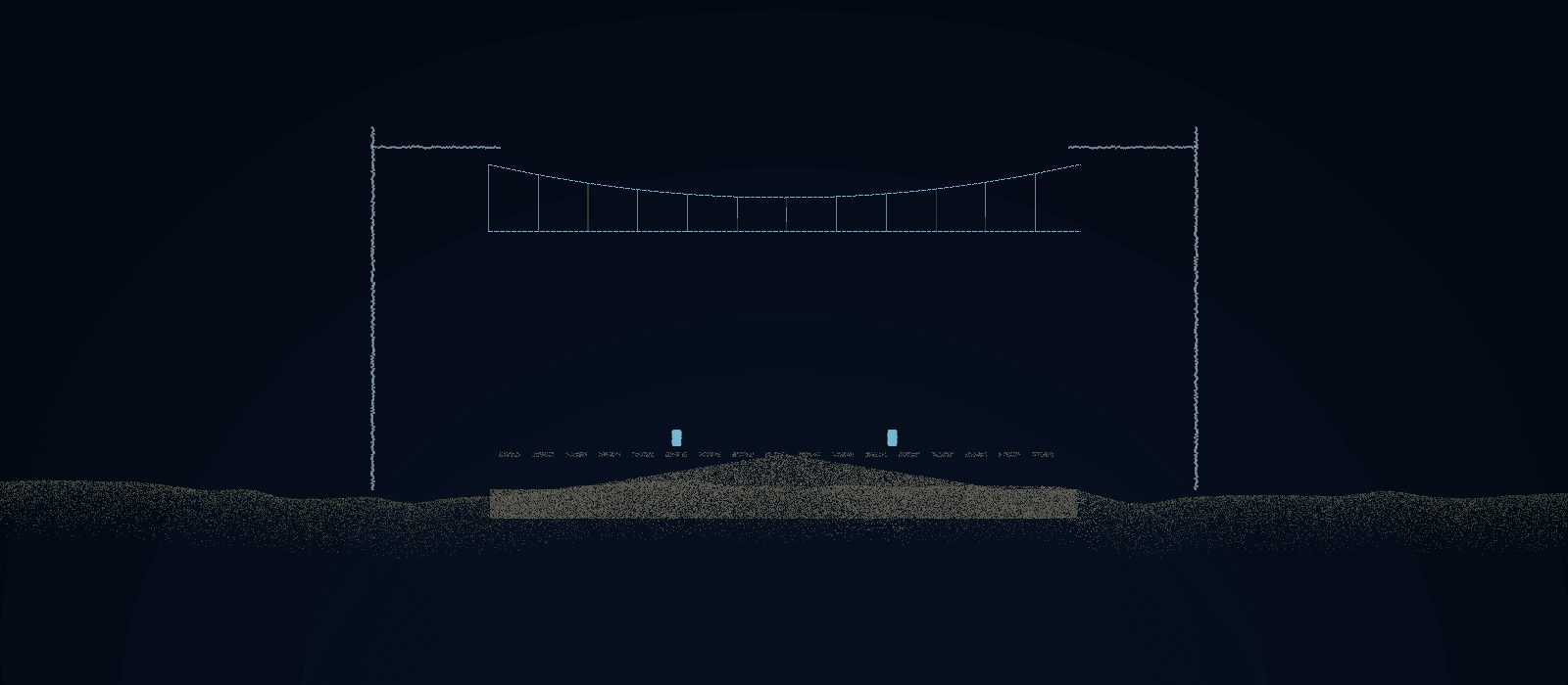
Corridor LiDAR projects fail quietly. The point cloud looks classified, the deliverable ships, and three months later a design team finds vegetation coded as conductor in span 1,847. On a recent 400-mile transmission corridor program, our QC checklist is what stood between us and that failure mode. Here's what's on it.
1. Calibrate before you classify
Before production begins, every classifier works the same gold-standard segment — a representative mile with known-correct classification, built jointly with the client. Nobody touches production tiles until their gold-set output matches spec. This one step removes the biggest source of drift: honest disagreement about what the spec means.
2. Automate the checks machines are good at
Scripted checks run on every tile: class-code completeness, height-above-ground outliers, isolated-point noise, seamline consistency between adjacent tiles and adjacent operators. Automation catches the mechanical failures fast — but it cannot catch a plausible-looking wrong answer, which is why it's the start of QC, not the end.
3. Sample like you mean it
Independent QC reviews a defined sample of every operator's daily output — higher rates for new operators and complex terrain, never zero for anyone. Every error found is logged by type, span, and operator. The error log is the real product of QC: it tells you where the spec is ambiguous and who needs recalibration before errors compound across hundreds of miles.
4. Close the loop weekly
Error patterns feed a weekly calibration review. Spec ambiguities get resolved in writing; the gold set gets amended; operators re-test on the amended set. Classification quality on mile 400 should be better than mile 4 — if it isn't, your QC is decoration.
None of this is exotic. It's discipline, applied consistently at scale — which is exactly what most LiDAR programs are missing.